On Thursday, December 28, 2023, the Government of Alberta released an annual Provincial Flood Map, meant to better enhance public safety.
Flood maps analyze and show where water will run to during a flood and show which areas are at highest risk of being flooded. It assesses and pinpoints flood risks along the Red Deer River throughout the Valley, as well as the Rosebud River and Michichi Creek, both of which converge into the Red Deer river.
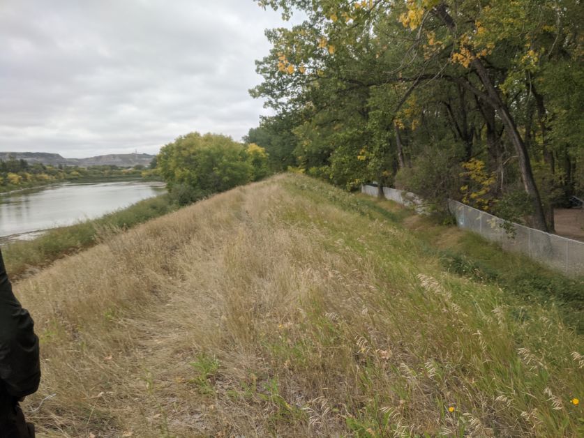
This is particularly important for Drumheller because this year it acknowledges the new berm construction.
“Flood mapping is what mortgage lenders and insurance companies use to assess risk and eligibility. If your home is shown to be in a floodway, you probably wouldn’t get a mortgage and/or home insurance may be very expensive,” explains Drumheller CAO Darryl Drohomerski.
According to Drumheller’s Resiliency and Flood Mitigation Office’s website, their mission is to “Protect residents and property from loss or injury related to the perils of flood and changes in climate,” and their goal is to “Preserve the value of property and ensure risk is reduced to levels which allows financial and insurance products to remain available.”
With the new berm construction throughout the Valley, this will help with the risk mitigation and cost to homeowners for insurance.