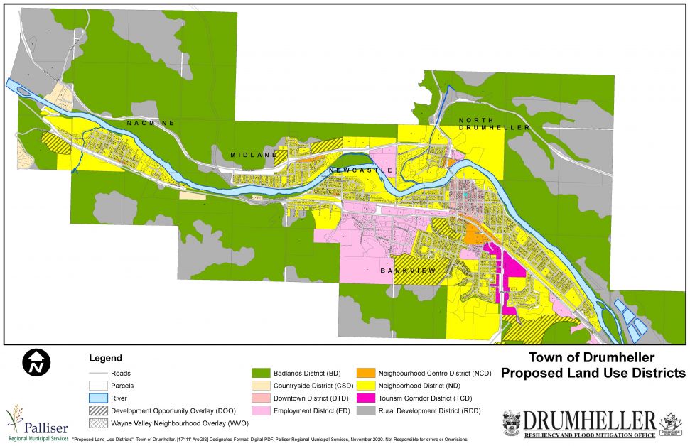
Following feedback requests for digital maps to compare proposed land use districts and current land use districts, Palliser Regional Municipal Services have launched a webmap available at landplanning.drumheller.ca as of November 10, 2020.
On October 26, 2020, the Town of Drumheller held public hearings for proposed Land Use Bylaw 16.20 (LUB) and proposed Municipal Development Plan Bylaw 17.20 (MDP).
Feedback on the proposed documents was received at the public hearings and at the public engagement sessions through the dates of October 14 to 27, 2020.
Feedback and comments have been incorporated into the proposed LUB and MDP and second drafts are now available for review.
The Town of Drumheller Council will be considering second reading of the proposed LUB and MDP during the regular Council Meeting on November 23, 2020.
Prior to considering second reading, the Town is requesting comments to be submitted to dlines@drumheller.ca on the updated drafts by November 17, 2020.
Second drafts of the LUB and MDP may be reviewed online at landplanning.drumheller.ca, or copies may be picked up at the Town of Drumheller office from 8 a.m. to 4 p.m.