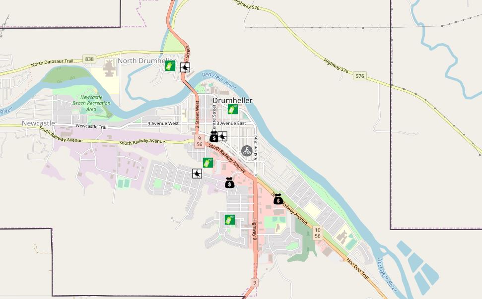
An online map showing recent crimes in the Drumheller area is helping local RCMP keep the public up to date on police work in their community.
The crime map, which is linked on the main page of The Drumheller Mail’s website, displays active files from the last two weeks and a rough location of where incidents took place. Cases of mischief, break and enter, theft, and missing persons are shown on the map, which uses ArcGIS technology.
The technology, which has been adopted in other communities but just recently came online for Drumheller, helps law enforcement make better decisions, target resources, and create crime reduction and other strategies to
help in community policing, RCMP say.
“It’s been a long haul,” says Corri Bitner, Drumheller detachment support staff, who worked over the last year on the map and welcomes increased transparency and line of communication with the public.
“It will be good for the public to see what’s going on.”
There are two parts of the crime mapping application: the internal map, which RCMP members use to add and view data, and the public map, which provides data approved by a registered RCMP administrator. Only certain types of crime are presented and plotted addresses are not exact but rather use a nearby road intersection. The map is locked down for the public and cannot be modified or changed.
The map is linked on www.drumhellermail.com in the ‘Crime Map’ tab.